Fun with Maps
Bailey King - Social Studies Teacher, East Valley Academy
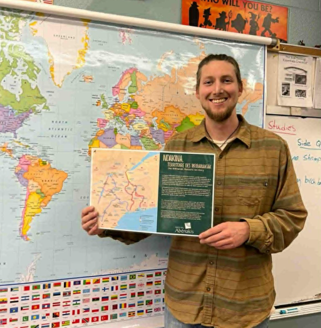
I used the map of Ndakina to help my students deepen their understanding of Wabanaki territory and to highlight how modern political borders often don’t align with Indigenous concepts of place.
In the previous class, we had discussed the word “Indigenous.” Students shared their thoughts and understandings of the term before a formal definition was introduced and added to their vocabulary notes.
During the map lesson, we compared Indigenous notions of territory and place—specifically those of the Wabanaki—with modern political interpretations of land. Each student received a copy of the Ndakina map as well as a blank map of the Northeast. They first filled in each state, using a U.S. map as a reference if needed, and labeled the Canadian provinces of Ontario and Quebec. Once this was complete, students examined the Ndakina map and added a red circle to their blank map to represent Wabanaki territory.
Afterward, students engaged with reflection questions such as:
“Is Wabanaki territory limited to just one country?”
“Are we currently in a place considered to be Wabanaki territory?”
“What geographical features serve as boundaries for the Wabanaki?”
These questions prompted thoughtful discussion and allowed students to demonstrate critical thinking about the relationship between geography, culture, and identity.
The map proved to be a valuable and engaging teaching tool for this lesson.